Australia: The Blaeu Map returns
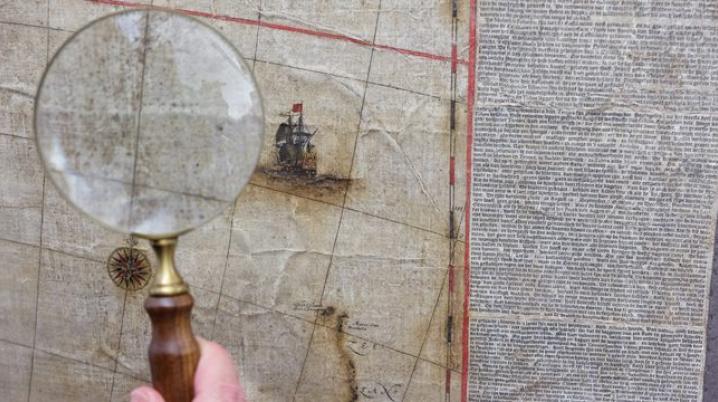
On 6 November, the restored Blaeu Map from 1663 was unveiled at the Treasures Gallery of the National Library of Australia. The Archipelagus Orientalis, sive Asiaticus (Eastern or Asian Archipelago) was made by the renowned Dutch cartographer Joan Blaeu (1596 -1673). The map is of great historical importance, as it records the first sighting of Tasmania and the first mapping of the New Zealand coast by Europeans. It became the template for all subsequent maps of 'New Holland', or Australia.
Hidden map
Joan Blaeu created the Archipelagus Orientalis in 1663. After having been hidden for hundreds of years, the map was found in a warehouse in Sweden in 2010. The National Library of Australia collected the map in 2013 and started a conservation project together with specialists from Melbourne University to restore the map to its former glory, which took four years. Ambassador Erica Schouten met with Director General of the NLA Dr Marie-Louise Ayres and Curator of Maps Dr Martin Woods to have a closer look at the map together.